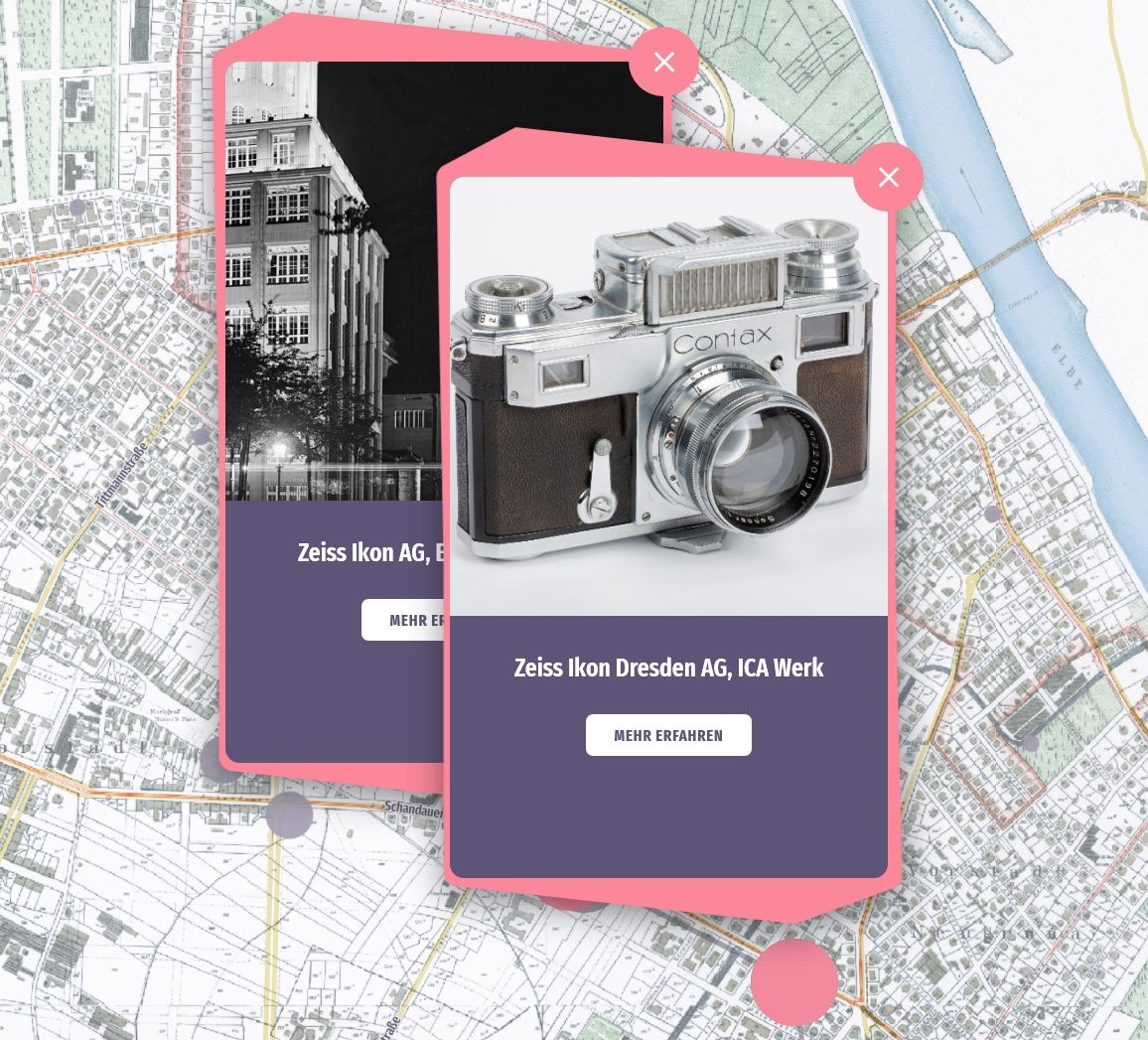
For almost 100 years, today's state capital was the German and European centre of the photography and cinema industry. An interactive map vividly traces the development of this former key industry with its more than 150 locations. Virtual walks through history can be taken on historical city maps – with overviews along a timeline, but also almost from house to house, guided by numerous illustrations and information. The journey through Dresden's industrial history is available both online and on a large screen in the »Kamerastadt Dresden« exhibition.


